History & landscape · Long read
How Ogliastrabecame the islandwithin the island
A region long left off the main roads and the maps, held between the Gennargentu and the Gulf of Orosei, which built its identity on the land long before the sea. The story of how it took shape — and of how, in 1887, one rural farmhouse entered that story and never left it.
Sardinians call Ogliastra the island within the island. Travellers repeat the phrase happily, but it was not coined for them: it describes something physical. For centuries this stretch of the east coast was easier to reach by sea than overland, and the land — the mountains behind it, the narrow passes, the valleys that lead nowhere — decided everything else: where people built, what they grew, who they traded with, how slowly news arrived.
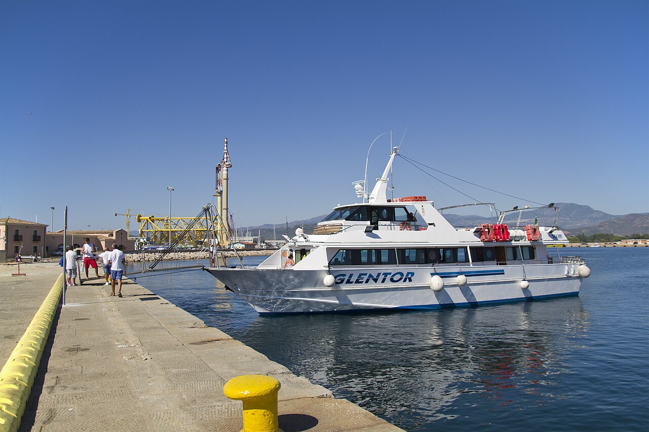
Anyone who gets here in a couple of hours today, by main road or by ferry, crosses without noticing a border that was real for generations. It is worth crossing it slowly, because the history of Ogliastra is not a list of rulers: it is the history of a stubborn relationship between a community and a difficult ground.
A geography that decides
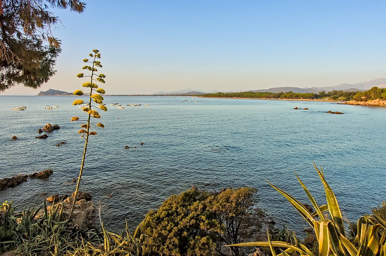
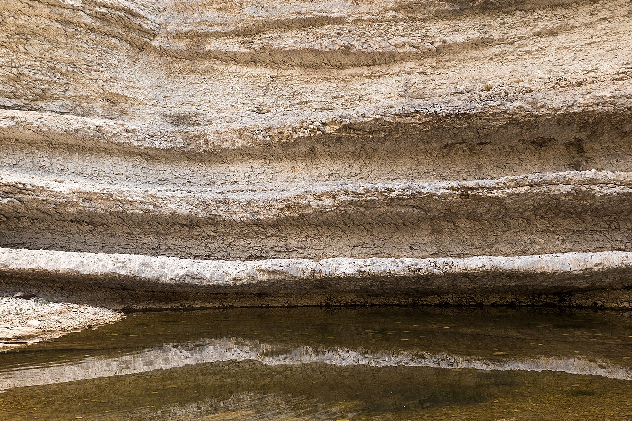
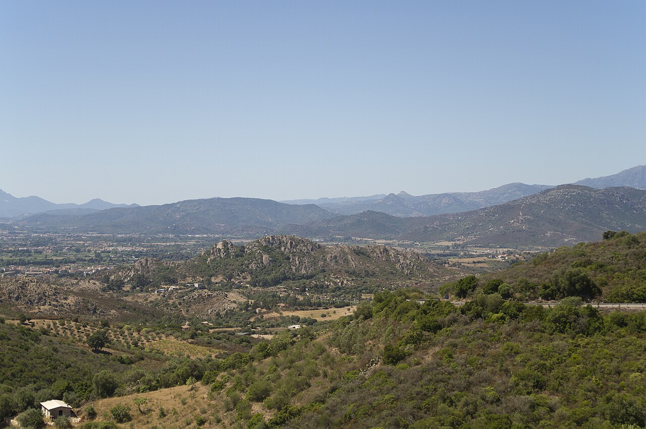
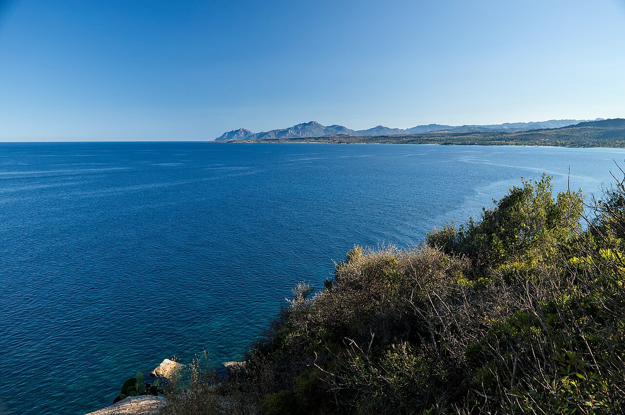
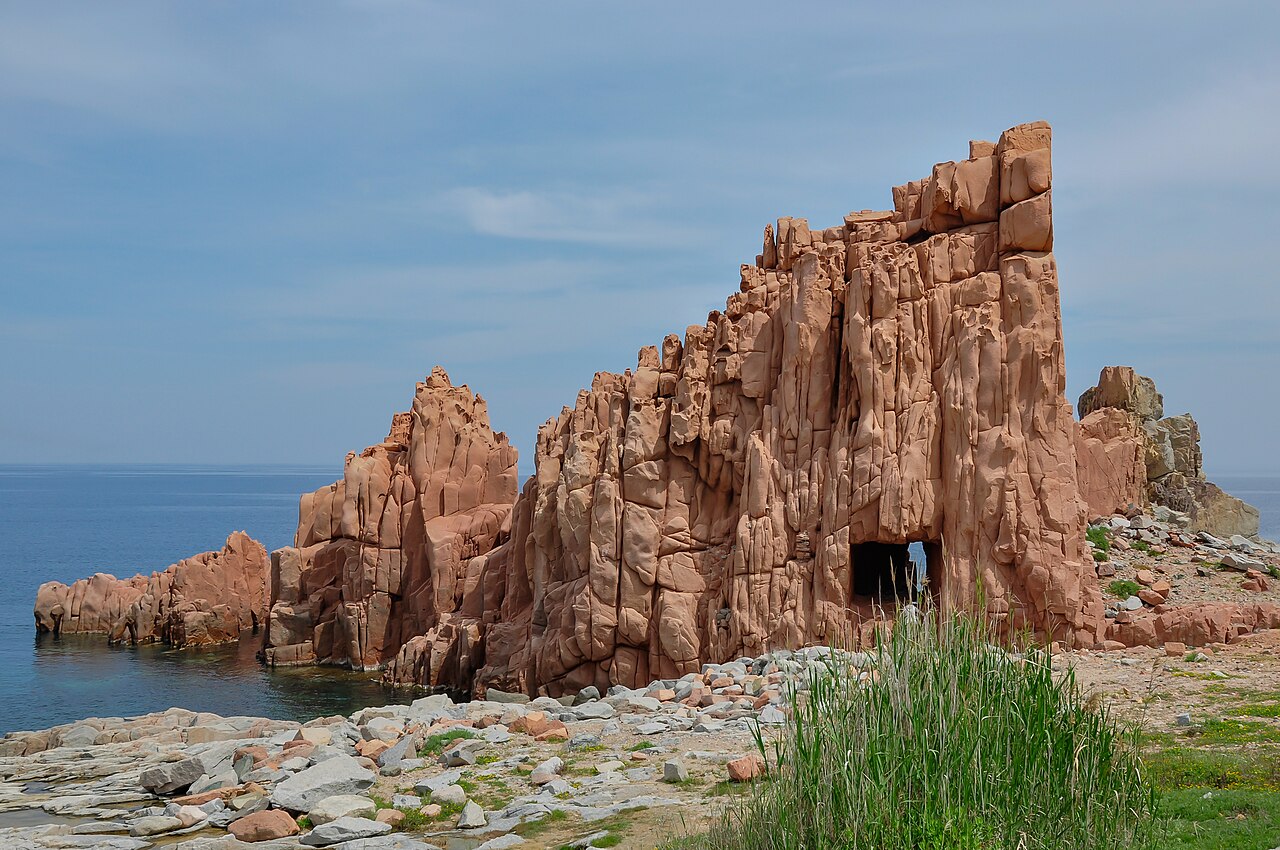
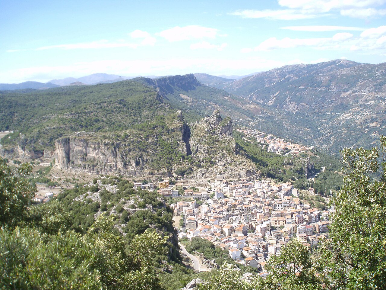
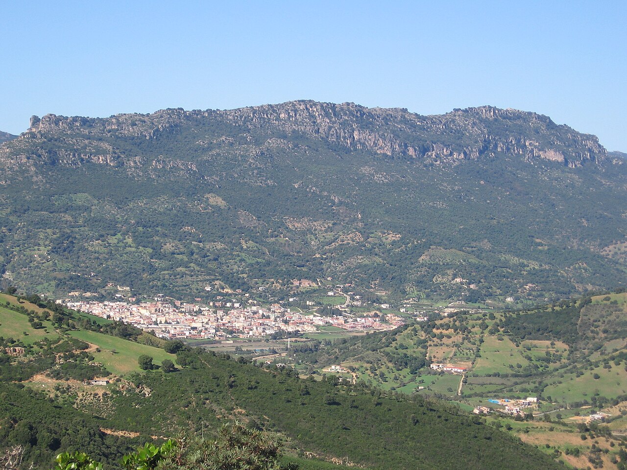
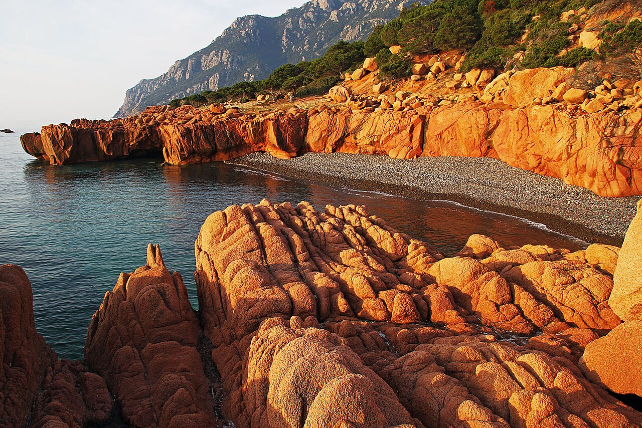
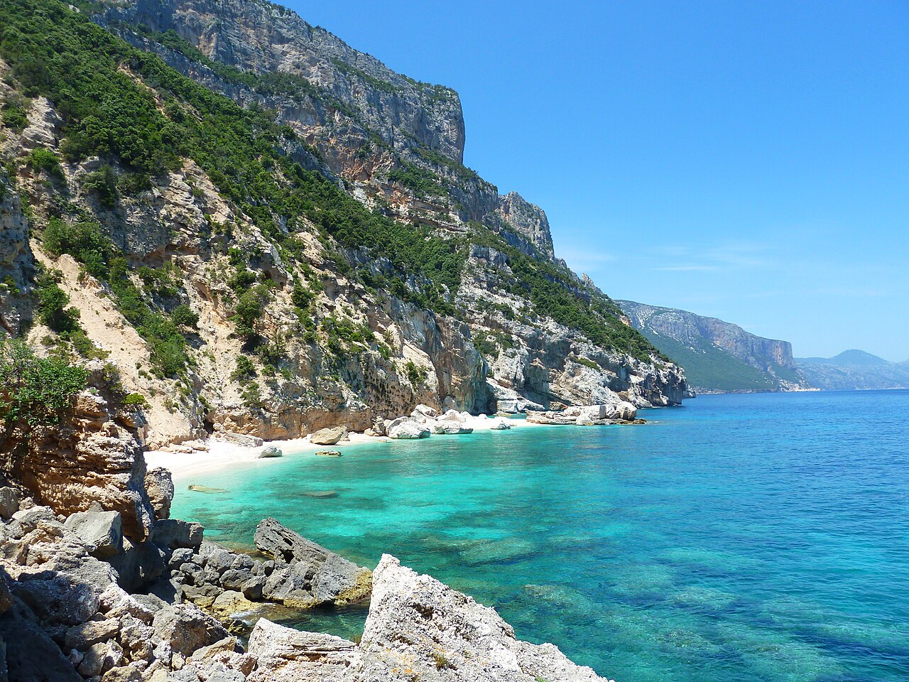
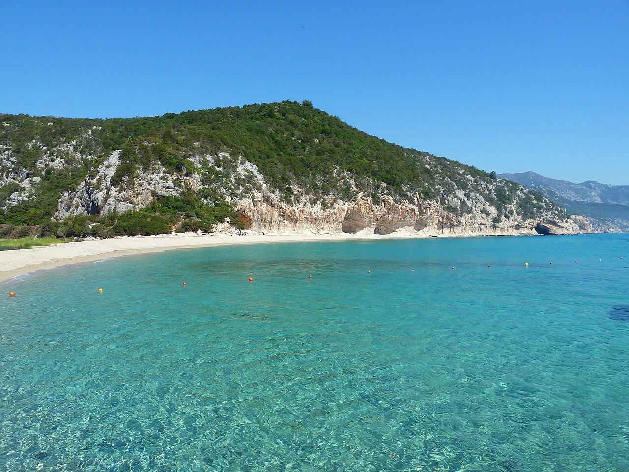
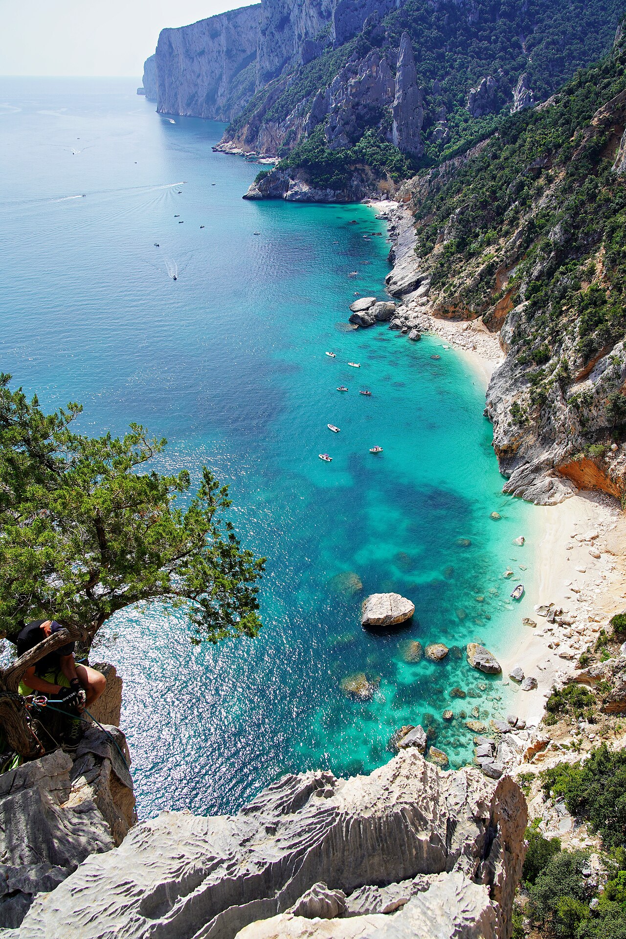
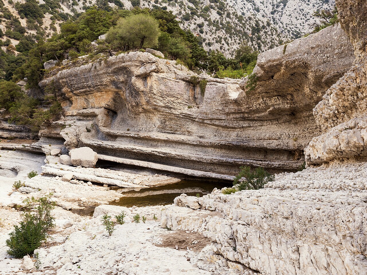
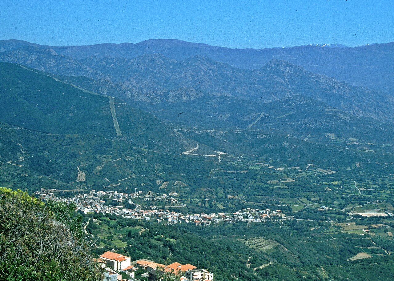
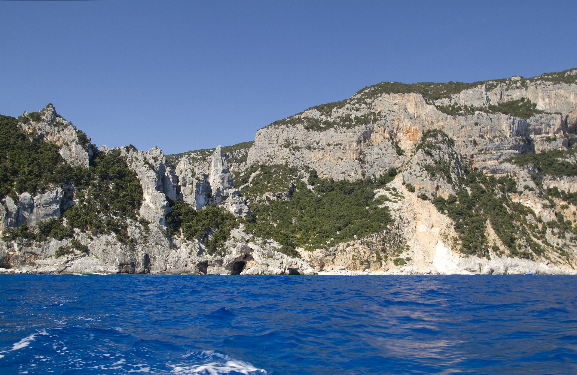
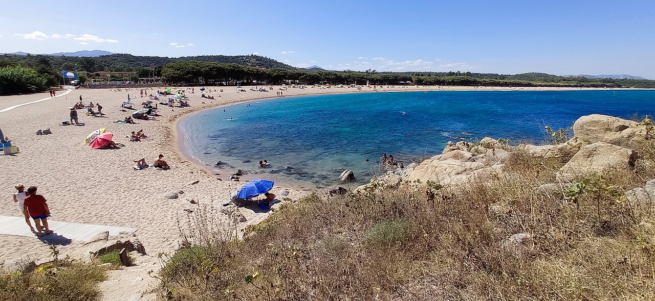
Ogliastra occupies the eastern side of the island, pressed between the inland massifs and the sea. To the west it is closed by the Gennargentu and the Supramonte; to the east the coast alternates sheer cliffs with short alluvial plains; in between rise the tacchi, limestone plateaus with vertical flanks, what remains of older sedimentary layers once eroded around them. Between these heights run the codule: valleys dry for most of the year, cut into the limestone by water and then abandoned, opening onto the Gulf of Orosei in beaches you can reach almost only by boat or on foot.
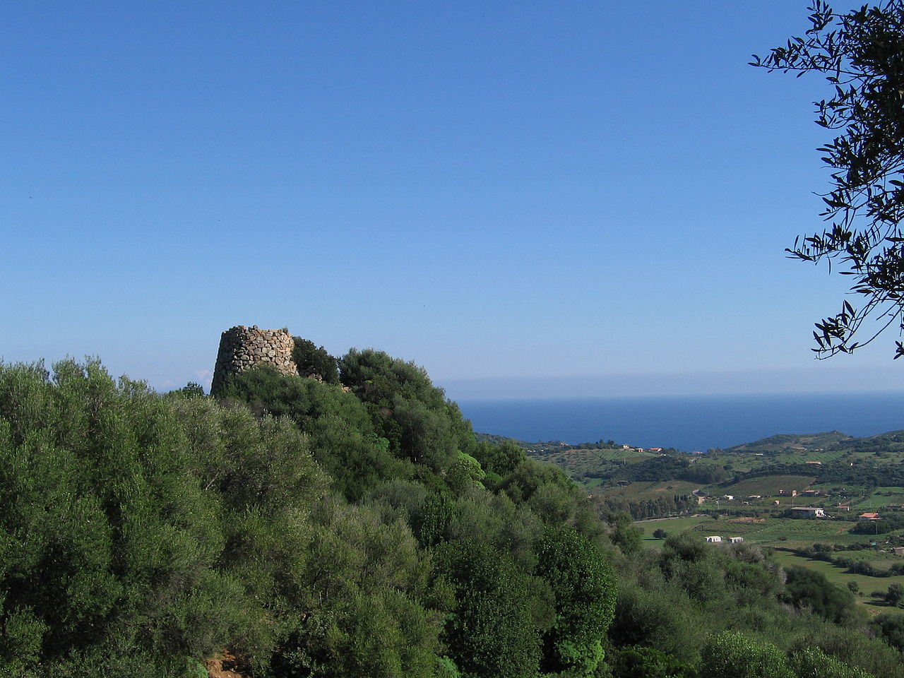
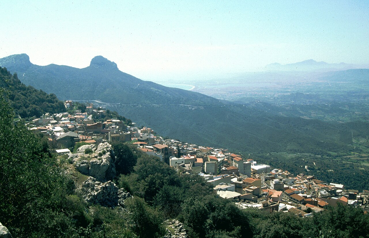
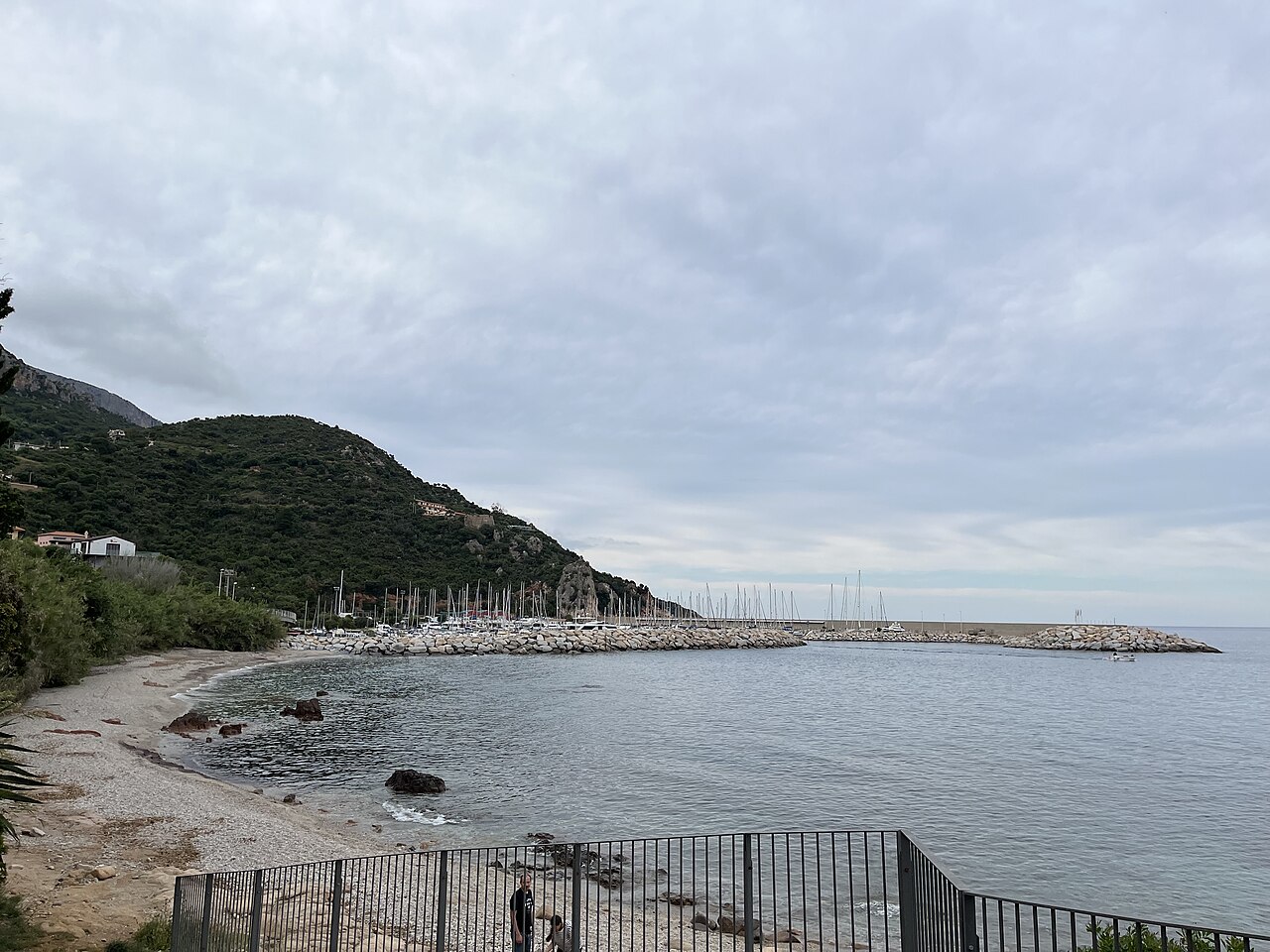
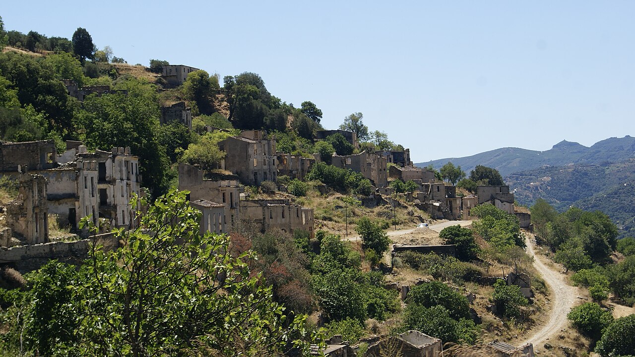
It is a geography you cannot read from the shore. A mountain village and a marina may be a few kilometres apart as the crow flies and still belong to two separate worlds, divided by an entire slope. Unsurprisingly, the historic settlements do not sit on the sea but a few kilometres inland, leaning against the hillsides, with water, pasture and firewood behind them and the coast in front, kept at a safe distance. The towns of Ogliastra still follow that logic: they look at the sea, but they live off the land.
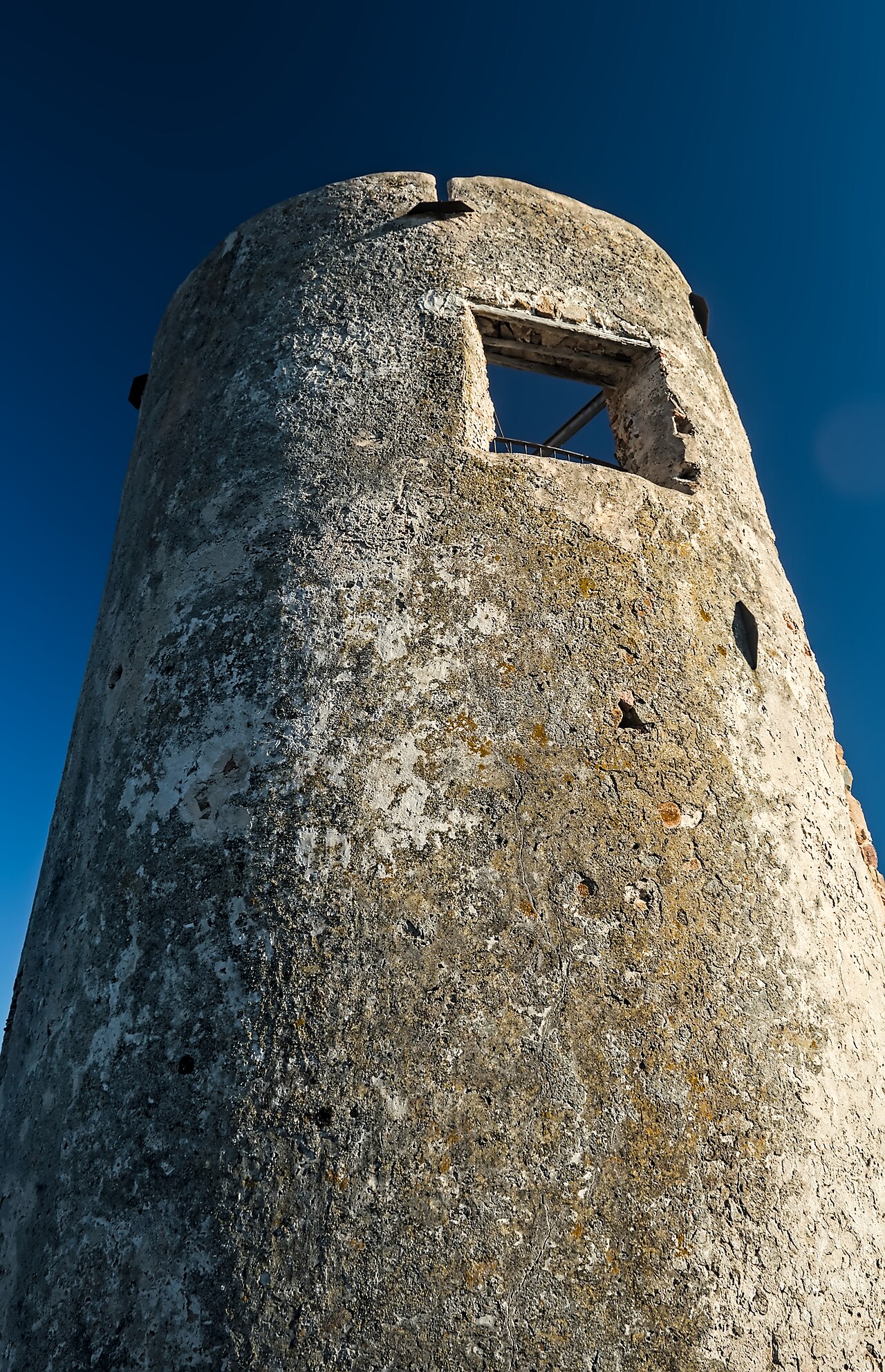
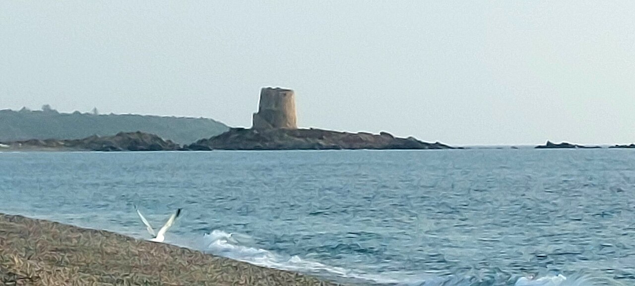
For a long time the sea here was not a view. It was the exposed side.
Everything follows from that: an economy of grazing and small-scale farming, a network of paths and passes that served transhumance long before tourism, and a practical wariness of whatever arrives from outside — an army, an official, a land register. The very routes now walked by choice, on the trekking trails between coast and plateau, were working roads.
The name, and what we do not know
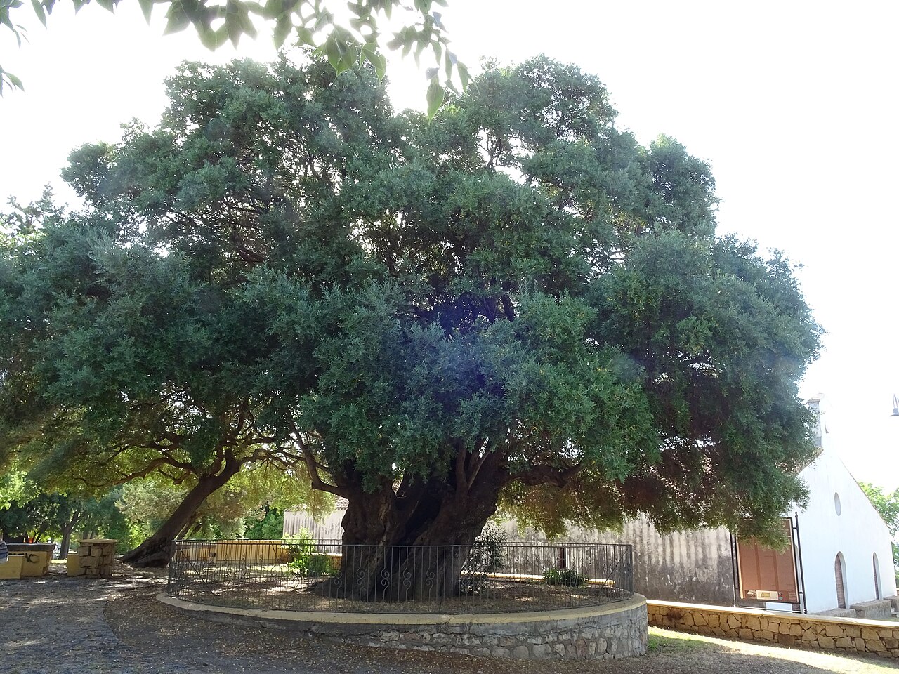
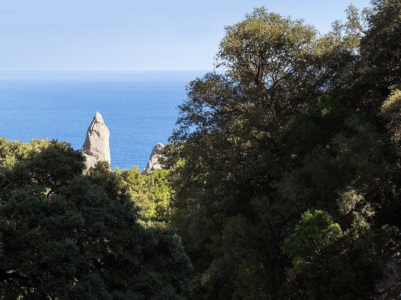
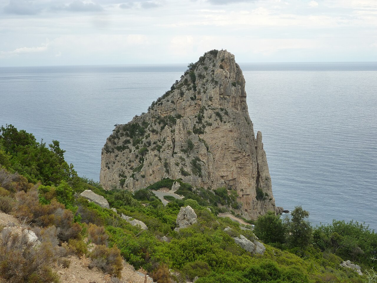
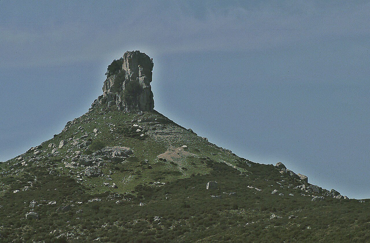
The name reached us through older forms: Agugliastra, a denomination still used in administrative records into the nineteenth century, when the region appears under that name with Lanusei as its point of reference. Its origin, however, is disputed. One reading links it to the aguglia, the rock spire that signals this coast to sailors from the sea; another to the olivastri, the wild olives that grow inland.
Neither explanation is considered settled, and this page will not close a debate that has been open for centuries. It is telling, though, that both hypotheses say the same thing from opposite directions: a landmark seen from the water, or a plant you learn to recognise walking inland. The region was named after whatever was noticed about it first.
Curatorie, judicates, fiefs
In the age of the Sardinian judicates, Ogliastra was a curatoria — an administrative district — of the Judicate of Cagliari. When the judicate was partitioned in 1258 the territory came into the Pisan orbit, and in that transition its administrative identity did not dissolve: it went on being recognised as a unit in its own right, under a name of its own, inside political arrangements that changed above the heads of the people living there.
After the Aragonese conquest the territory was firmly turned into a fief: a diploma of Alfonso V, in 1421, confirms the grant of Agugliastra to Berengario Carroz. Under Spanish rule the fief kept both its name and a legal character of its own, regulated by the capitoli di grazia, the agreements that set out rights and obligations between the local communities and the feudal lord. A technical detail, but a revealing one: here power had to negotiate the terms on which land was used, because land was the only wealth at stake.
For centuries what mattered was not ownership in the modern sense but the right of use: the ademprivi, the collective entitlement to graze, gather firewood and sow in rotation on unenclosed ground. A landscape without walls, where boundaries were shared, seasonal customs. Whoever still lives from vines, gardens and flocks in Ogliastra descends from that system, not from lowland agriculture.
The century in which the land changed hands
The nineteenth century rewrote all of it. On 6 October 1820 Victor Emmanuel I issued the Editto delle Chiudende — published in Sardinia in 1823 — authorising landowners to enclose their ground. It was designed to create private property, encourage agriculture and build a class of landholders; in practice it dismantled the framework of collective use and provoked widespread resistance, tension and unrest, met in the 1830s with military repression.
The rest came quickly. The edict of 31 May 1836 abolished feudal jurisdiction; the redemption of the fiefs by the Crown ran from 1837 to 1846, with compensation that fell on the municipalities and their tenants. On 4 January 1848 the perfect fusion of Sardinia with the mainland states, decreed the previous year, was made public: the Kingdom of Sardinia ceased to have separate institutions for the island, which entered the Piedmontese order. In 1858 the ademprivi were abolished for good. In 1861, with unification, the Kingdom of Sardinia became the Kingdom of Italy — and within a single generation Ogliastra found itself inside a new state, with a cadastre, a tax office and a school.
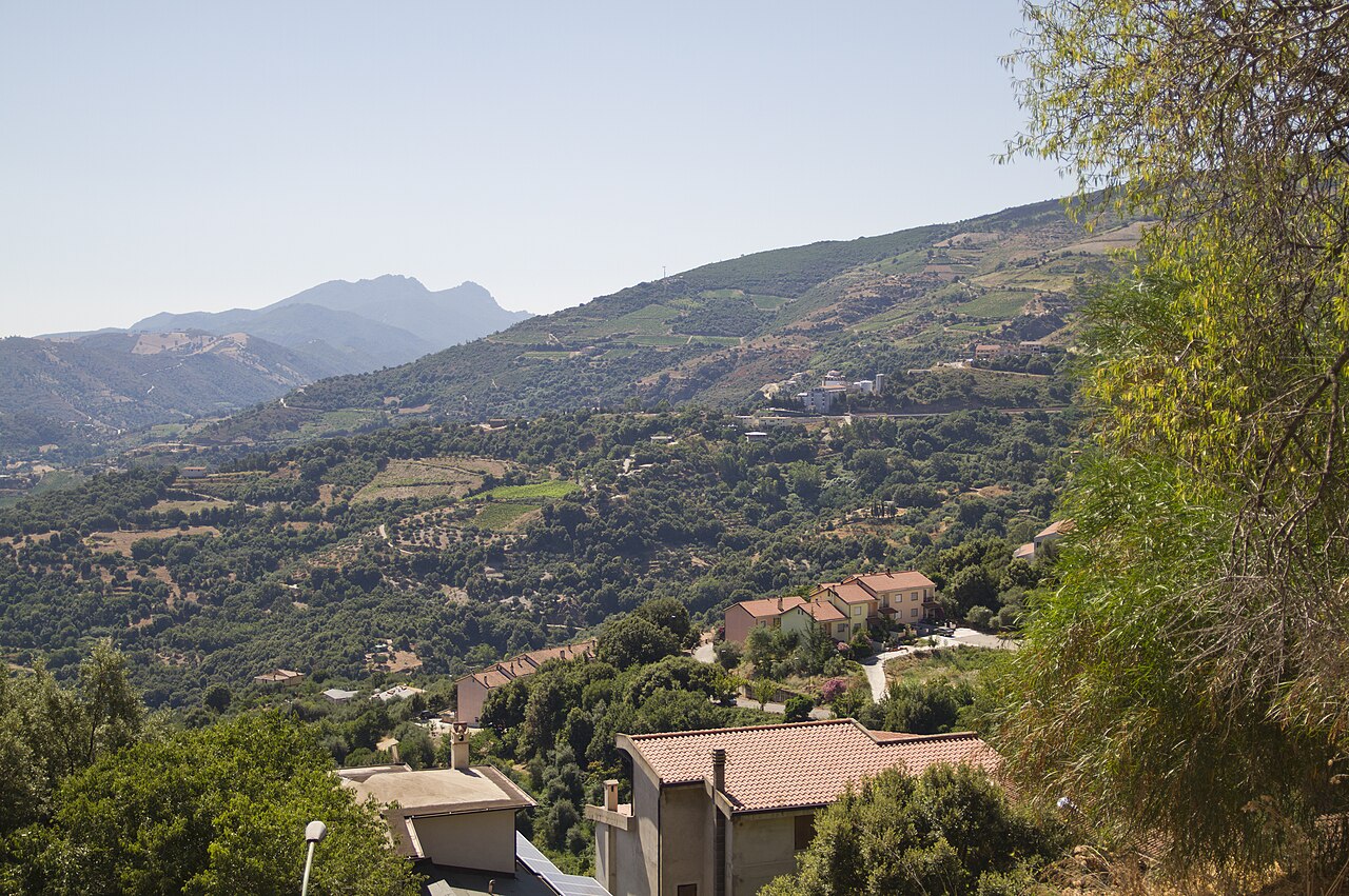
On the ground, all those laws meant one thing: land had to be marked out, declared and worked by whoever owned it. That is when the Ogliastra landscape took the shape we still see — dry-stone walls climbing the slopes, enclosed plots, vineyards, orchards — and that is when a type of building became necessary: the country house. Not a villa for the summer, but a working tool, built in stone where the fields are, so that people could stay through the seasons when fields cannot be left alone.
Ogliastra · the farmhouse is built
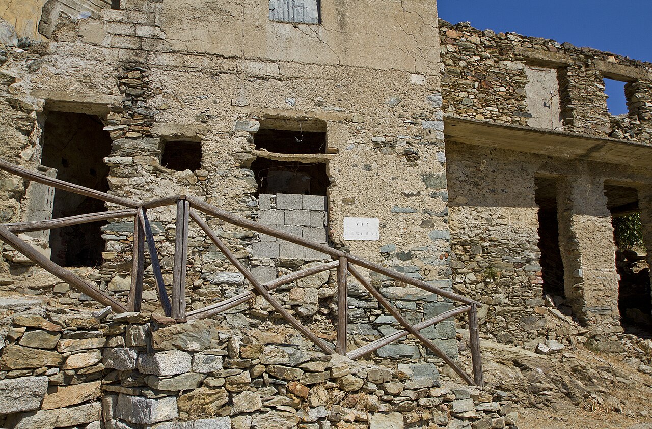
It is at this point in the story, and not before, that the farmhouse now known as I Mandorli appears: it was built in 1887, in the years when the Ogliastra countryside was being redrawn around the new ownership of land. Stone, generous thickness, small openings, an orientation chosen for sun and wind: the grammar of Sardinian rural architecture, applied with no decorative intent.
The remarkable thing, though, is not the date. Old dates are not rare in Sardinia. It is that the farmhouse's story never stopped: the building is still standing, still preserved, and still part of a working farm, inside the land it was built for. It is — with all the caution such a statement deserves — one of the oldest rural farmhouses in Sardinia still preserved and still in use.
Not a building rescued from time: a building that never stopped working.
That continuity is the only thing that really separates an old house from a restored ruin. Here the sequence has been the same for more than a century: the land, the trees, the seasons, and a house in the middle of them. In 2000 one element was added to that sequence without replacing the others: hospitality. Twenty-six years in which guests do not arrive at something built to receive them, but at a place that was already doing something else — and still is.
The difference is substantial, and it is also why, on this magazine, the answer to where to stay in Ogliastra is one answer rather than a list: position — the immediate hinterland, close to the sea and already inside the farmland — matters more than any ranking.
Sa Barza, today
Sa Barza comes from that, and from a simple idea: Ogliastra is not visited by lists, it is crossed. It pays to settle in one place and move around it rather than change base every two nights, because in a region this vertical distance is not measured in kilometres but in slopes.
If Ogliastra is the island within the island, Sa Barza wants to be the contemporary point from which to start covering it: the coves of the Gulf of Orosei, the limestone tacchi closing the western horizon, the villages on the hillsides, the Cannonau vineyards, the experiences that exist only here. First-time visitors can begin with our guide First time in Ogliastra or with a three, five or seven-day itinerary.
The journey starts here.